
PHOTOGRAMMETRY - MAPPING
Utilizing advanced UAV systems and specialized 3D modeling software, we provide high-precision photogrammetric surveys (mm–cm), delivering absolute reliability, speed, and technical excellence.

Aerial & Ground
Surveying
Using unmanned systems as well as mirrorless cameras and photogrammetry techniques, we capture areas, building facilities, heritage sites, archeological excavations, quarries, industrial facilities, solar parks, construction sites - essentially any type of structure, and produce high precision, high-resolution orthomosaics of plans, elevations, sections, 3D digital models, point clouds, and digital surface models.
We also undertake the creation of small-scale models using our in-house 3D printers.
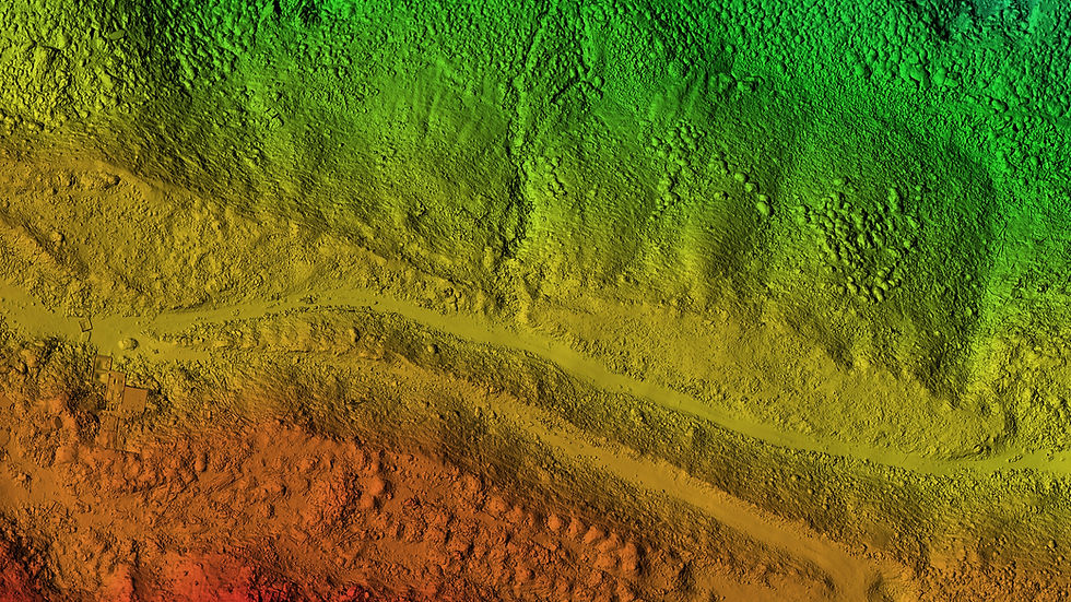
Large-Scale aerial mapping
With expertise in aerial photogrammetry and years of experience executing complex UAV mapping and 3D modeling projects, we offer advanced know-how and comprehensive equipment to deliver high-precision aerial surveys.
Our continuous investment in research and tracking of technological developments in the field allows us to provide solutions tailored to each project, achieving geodetic and geometric accuracy from few millimeters up to a few centimeters. We take on even the most demanding surveys, delivering speed, reliability, and complete technical documentation.
Photogrammetry survey for AVAX S.A.

Data acquisition & processing
At the core of photogrammetry lies the photograph itself, and we place special emphasis on every stage of the process — from image capture to final photogrammetric processing using specialized software.
During data collection, we carefully calculate the correct image overlap, optimal tilt and capture angles, and manually check parameters such as exposure, white balance, and more.
To ensure maximum geometric accuracy and proper georeferencing of the models, we employ specialized techniques including calibration bars, ground control points, tie points, RTK/PPK technologies, and custom calibration flight patterns tailored to the specifics and requirements of each project.
This approach guarantees a final result of high precision and quality, fully meeting your expectations.
All images are captured in RAW format to preserve maximum detail, followed by pre-processing using specialized software to extract additional information.
Importantly, we do not use cloud-based processing platforms. Instead, we rely on powerful in-house software on our own computers, fully customized for optimal results.
Work samples


3d mapping KEA's landfills

Site survey Corinth

3d mapping industrial building in Athens

Estate 3d mapping in Koropi

3d survey of photovoltaic park in Oropos

3d mapping of a Listed Building & Urban Block – Athens


Providing specialized services for surveyors, architects, civil engineers, mechanical engineers, and technical companies.

Pricing
The cost of each survey depends on:
A) Primarily, the number of images required. this depends on the requested resolution(GSD) and accuracy, the size of the area, the terrain morphology (e.g., significant elevation differences, buildings, etc.), and whether additional information is needed (more images) for creating a 3D mesh, a Digital Surface Model(DSM), or a Digital Terain Model(DTM).
For example, the cost of an orthomosaic covering 50 acres at 1.3cm/pix resolution may be similar to a survey of 300 acres (with comparable terrain) at 3.4 cm/pix.
B)The difficulty of the area being surveyed — for instance, if the flight must be conducted under a tree canopy, as in the case of archaeological sites, or other challenging environments.

Exportable Files
-
Orthomosaic in the desired geodetic reference system in .geo.tif / .jpg format
-
Google KMZ Orthomosaic in .kmz format
-
Colored Point Cloud in .laz / .e57 / .dxf / .ply format
-
Digital Surface Model (DSM) in .geo.tif / .jpg format
-
Digital Terrain Model (DTM) in .geo.tif / .jpg format
-
Contour lines in the desired interval in .txt / .shp / .dxf format
-
3D Digital Model (3D-MODEL) with high-resolution photographic texture in .obj format, also available in .dxf / .fbx / .3ds / .stl
-
Elevations & Facades in .geo.tif / .jpg format
-
Detailed reference report
-
Presentation video in UHD 4K & FHD 1080p suitable for social media